Track down to the Lyvennet
Introduction
The photograph on this page of Track down to the Lyvennet by Karl and Ali as part of the Geograph project.
The Geograph project started in 2005 with the aim of publishing, organising and preserving representative images for every square kilometre of Great Britain, Ireland and the Isle of Man.

There are currently over 7.5m images from over 14,400 individuals and you can help contribute to the project by visiting https://www.geograph.org.uk
Track down to the Lyvennet
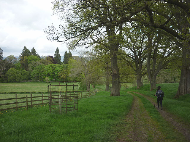
Image: © Karl and Ali Taken: 25 May 2015
The bridleway below Winter House passes through an area of large, standard trees and open parkland as it descends towards the river.
Images are licensed for reuse under creativecommons.org/licenses/by-sa/2.0
Image Location
Latitude
54.608612
Longitude
-2.614293