Pasture land west of Cobhall Common
Introduction
The photograph on this page of Pasture land west of Cobhall Common by Jonathan Billinger as part of the Geograph project.
The Geograph project started in 2005 with the aim of publishing, organising and preserving representative images for every square kilometre of Great Britain, Ireland and the Isle of Man.

There are currently over 7.5m images from over 14,400 individuals and you can help contribute to the project by visiting https://www.geograph.org.uk
Pasture land west of Cobhall Common
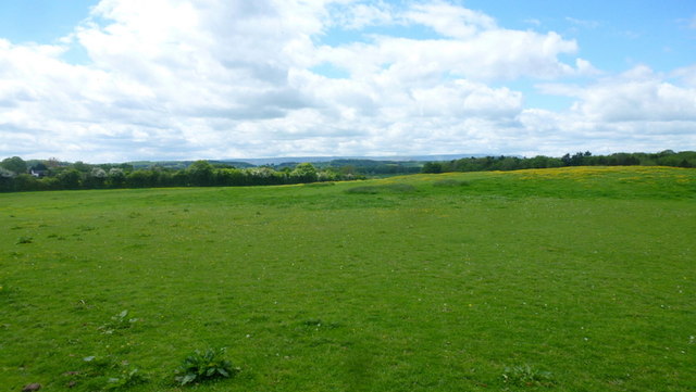
Image: © Jonathan Billinger Taken: 26 May 2015
Essentially the same view as Image taken over nine years earlier. The plateau of the Black Mountains can be seen in the distance and the poached land of April 2006 is now a green sward in May 2015.
Images are licensed for reuse under creativecommons.org/licenses/by-sa/2.0
Image Location
Latitude
52.017053
Longitude
-2.805918