Ash tree and cow parsley at roadside
Introduction
The photograph on this page of Ash tree and cow parsley at roadside by Bikeboy as part of the Geograph project.
The Geograph project started in 2005 with the aim of publishing, organising and preserving representative images for every square kilometre of Great Britain, Ireland and the Isle of Man.

There are currently over 7.5m images from over 14,400 individuals and you can help contribute to the project by visiting https://www.geograph.org.uk
Ash tree and cow parsley at roadside
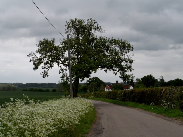
Image: © Bikeboy Taken: 25 May 2015
Near to Hole Farm
Images are licensed for reuse under creativecommons.org/licenses/by-sa/2.0
Image Location


Leaflet Map data © OpenStreetMap
Latitude
51.918329
Longitude
0.061439