Church End, Braughing
Introduction
The photograph on this page of Church End, Braughing by Bikeboy as part of the Geograph project.
The Geograph project started in 2005 with the aim of publishing, organising and preserving representative images for every square kilometre of Great Britain, Ireland and the Isle of Man.

There are currently over 7.5m images from over 14,400 individuals and you can help contribute to the project by visiting https://www.geograph.org.uk
Church End, Braughing
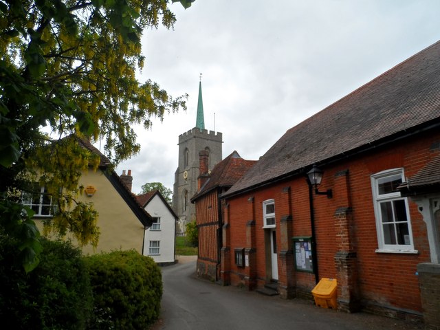
Image: © Bikeboy Taken: 25 May 2015
The red-bricked building dates from the early C17 (see http://www.britishlistedbuildings.co.uk/en-161168-causeway-house-braughing-hertfordshire#.VWTElc9Viko for entry in British Listed Buildings) and is now used as a meeting room. The C15 tower of St Mary the Virgin is visible at the end of the street.
Images are licensed for reuse under creativecommons.org/licenses/by-sa/2.0
Image Location
Latitude
51.907406
Longitude
0.027646