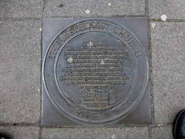
Plaque, The Methodist Church, Strabane
Introduction
The photograph on this page of Plaque, The Methodist Church, Strabane by Kenneth Allen as part of the Geograph project.
The Geograph project started in 2005 with the aim of publishing, organising and preserving representative images for every square kilometre of Great Britain, Ireland and the Isle of Man.
There are currently over 7.5m images from over 14,400 individuals and you can help contribute to the project by visiting https://www.geograph.org.uk

Image: © Kenneth Allen Taken: 24 May 2015
It is located on the pavement in front of the church Image] The following text is included in the inscription: The original Methodist Church was built in Church Street behind the Patrick Street graveyard, with a second Methodist Church situated at Barrack Street. The combined congregations erected the present building at Railway Road in 1900, with recent substantial renovations following the damage caused by the 1987 flood - Strabane District Council. Note: 1 - Since there were two Methodist churches I am guessing that one of them may have been a Primitive Methodist Church 2- The plaque refers to Railway Road, but most of the maps indicate this at Railway Street, I didn't notice any street signs to verify this

