Approach to A35 from Charmouth
Introduction
The photograph on this page of Approach to A35 from Charmouth by Nigel Mykura as part of the Geograph project.
The Geograph project started in 2005 with the aim of publishing, organising and preserving representative images for every square kilometre of Great Britain, Ireland and the Isle of Man.

There are currently over 7.5m images from over 14,400 individuals and you can help contribute to the project by visiting https://www.geograph.org.uk
Approach to A35 from Charmouth
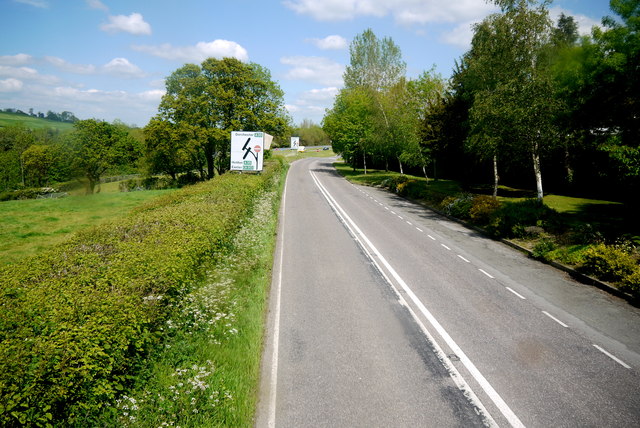
Image: © Nigel Mykura Taken: 23 May 2015
Charmouth has been bypassed by the A35 and this is where the minor road through the centre of the village meets the A35 on the north western side of the village.
Images are licensed for reuse under creativecommons.org/licenses/by-sa/2.0
Image Location
Latitude
50.739889
Longitude
-2.887386