Char Valley
Introduction
The photograph on this page of Char Valley by Nigel Mykura as part of the Geograph project.
The Geograph project started in 2005 with the aim of publishing, organising and preserving representative images for every square kilometre of Great Britain, Ireland and the Isle of Man.

There are currently over 7.5m images from over 14,400 individuals and you can help contribute to the project by visiting https://www.geograph.org.uk
Char Valley
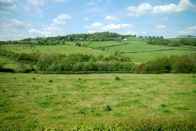
Image: © Nigel Mykura Taken: 23 May 2015
This is the valley of the river just west of the village. The river and the A35 village bypass run across the middle of the image. In the background is the hill of Catherston Leweston.
Images are licensed for reuse under creativecommons.org/licenses/by-sa/2.0
Image Location
Latitude
50.740228
Longitude
-2.890085