Fields near Braziers Lane
Introduction
The photograph on this page of Fields near Braziers Lane by Alan Hunt as part of the Geograph project.
The Geograph project started in 2005 with the aim of publishing, organising and preserving representative images for every square kilometre of Great Britain, Ireland and the Isle of Man.

There are currently over 7.5m images from over 14,400 individuals and you can help contribute to the project by visiting https://www.geograph.org.uk
Fields near Braziers Lane
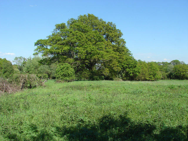
Image: © Alan Hunt Taken: 13 May 2015
Fields to the west of Braziers Lane from the footpath that cuts off the corner between Church Road and Braziers Lane.
Images are licensed for reuse under creativecommons.org/licenses/by-sa/2.0
Image Location
Latitude
51.440028
Longitude
-0.697734