Weir on the Auldhouse Burn
Introduction
The photograph on this page of Weir on the Auldhouse Burn by Richard Sutcliffe as part of the Geograph project.
The Geograph project started in 2005 with the aim of publishing, organising and preserving representative images for every square kilometre of Great Britain, Ireland and the Isle of Man.

There are currently over 7.5m images from over 14,400 individuals and you can help contribute to the project by visiting https://www.geograph.org.uk
Weir on the Auldhouse Burn
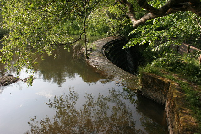
Image: © Richard Sutcliffe Taken: 4 Jun 2010
Seen from the side of the weir. Very little water was flowing when this photograph was taken.
Images are licensed for reuse under creativecommons.org/licenses/by-sa/2.0
Image Location
Latitude
55.792092
Longitude
-4.316324