Winding hole, between bridges 170 and 169
Introduction
The photograph on this page of Winding hole, between bridges 170 and 169 by Christine Johnstone as part of the Geograph project.
The Geograph project started in 2005 with the aim of publishing, organising and preserving representative images for every square kilometre of Great Britain, Ireland and the Isle of Man.

There are currently over 7.5m images from over 14,400 individuals and you can help contribute to the project by visiting https://www.geograph.org.uk
Winding hole, between bridges 170 and 169
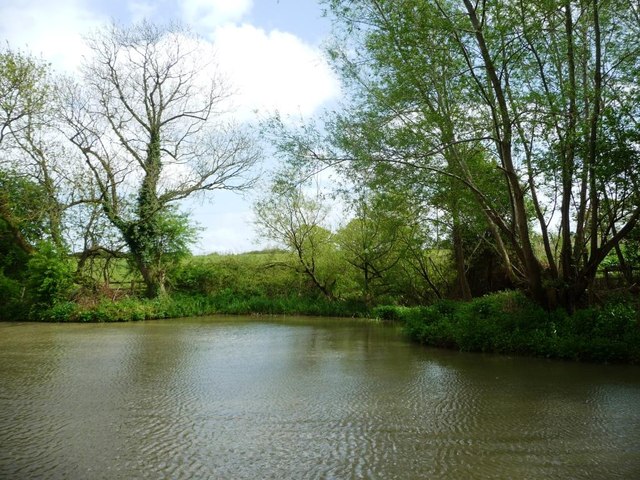
Image: © Christine Johnstone Taken: 5 May 2015
Where boats longer than the usual width of the canal can turn round.
Images are licensed for reuse under creativecommons.org/licenses/by-sa/2.0
Image Location
Latitude
51.334461
Longitude
-2.227609