Cox's Meadow, Cheltenham, Glos
Introduction
The photograph on this page of Cox's Meadow, Cheltenham, Glos by P L Chadwick as part of the Geograph project.
The Geograph project started in 2005 with the aim of publishing, organising and preserving representative images for every square kilometre of Great Britain, Ireland and the Isle of Man.

There are currently over 7.5m images from over 14,400 individuals and you can help contribute to the project by visiting https://www.geograph.org.uk
Cox's Meadow, Cheltenham, Glos
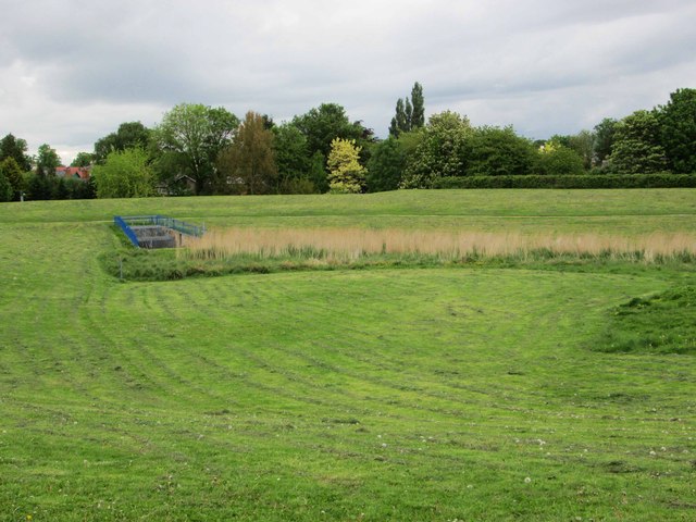
Image: © P L Chadwick Taken: 22 May 2015
Cox’s Meadow is now part of Cheltenham’s Flood Alleviation Scheme. The town is vulnerable to floods caused by run-offs from thunderstorms high on the nearby hills. This flood plain helps give protection. It has also resulted is creating a habitat that supports aa diversity of flora and fauna. Following heavy rain the area turns into a wetland and then once the floodwater has drained back into the River Chelt, it becomes a meadow again. A footpath and cycle path have been provided around the meadow. Image Image
Images are licensed for reuse under creativecommons.org/licenses/by-sa/2.0
Image Location


Leaflet Map data © OpenStreetMap
Latitude
51.890506
Longitude
-2.065777