View of the Sound of Sleat
Introduction
The photograph on this page of View of the Sound of Sleat by Norrie Adamson as part of the Geograph project.
The Geograph project started in 2005 with the aim of publishing, organising and preserving representative images for every square kilometre of Great Britain, Ireland and the Isle of Man.

There are currently over 7.5m images from over 14,400 individuals and you can help contribute to the project by visiting https://www.geograph.org.uk
View of the Sound of Sleat
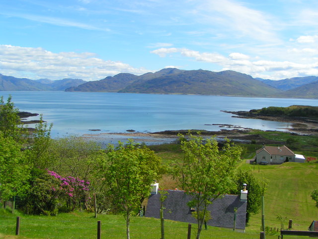
Image: © Norrie Adamson Taken: 15 May 2007
View from Camascross on Skye over the Sound of Sleat (pro. slate). Loch Hourn lies to the left of the picture with Arnisdale too small to see on its upper shore.
Images are licensed for reuse under creativecommons.org/licenses/by-sa/2.0
Image Location
Latitude
57.13639
Longitude
-5.810991