Contrasting houses by A54 in Tarvin
Introduction
The photograph on this page of Contrasting houses by A54 in Tarvin by David Smith as part of the Geograph project.
The Geograph project started in 2005 with the aim of publishing, organising and preserving representative images for every square kilometre of Great Britain, Ireland and the Isle of Man.

There are currently over 7.5m images from over 14,400 individuals and you can help contribute to the project by visiting https://www.geograph.org.uk
Contrasting houses by A54 in Tarvin
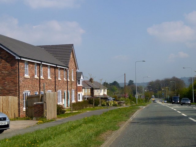
Image: © David Smith Taken: 23 Apr 2015
The new houses (21st century) in the foreground have narrow gardens at the front and vehicle access at the rear. The older houses beyond were built with longer gardens and vehicle access direct from the A54
Images are licensed for reuse under creativecommons.org/licenses/by-sa/2.0
Image Location


Leaflet Map data © OpenStreetMap
Latitude
53.198781
Longitude
-2.766091