The verge of the A54 west of Tarvin
Introduction
The photograph on this page of The verge of the A54 west of Tarvin by David Smith as part of the Geograph project.
The Geograph project started in 2005 with the aim of publishing, organising and preserving representative images for every square kilometre of Great Britain, Ireland and the Isle of Man.

There are currently over 7.5m images from over 14,400 individuals and you can help contribute to the project by visiting https://www.geograph.org.uk
The verge of the A54 west of Tarvin
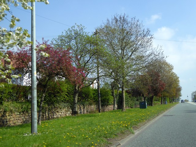
Image: © David Smith Taken: 23 Apr 2015
There is a group of semi-detached house screened from the main road by trees and a wall, with a service road beyond. These houses are slightly separated from the village with open space between the group and the next houses on the A54
Images are licensed for reuse under creativecommons.org/licenses/by-sa/2.0
Image Location
Latitude
53.195394
Longitude
-2.775461