The Langstane
Introduction
The photograph on this page of The Langstane by Bill Harrison as part of the Geograph project.
The Geograph project started in 2005 with the aim of publishing, organising and preserving representative images for every square kilometre of Great Britain, Ireland and the Isle of Man.

There are currently over 7.5m images from over 14,400 individuals and you can help contribute to the project by visiting https://www.geograph.org.uk
The Langstane
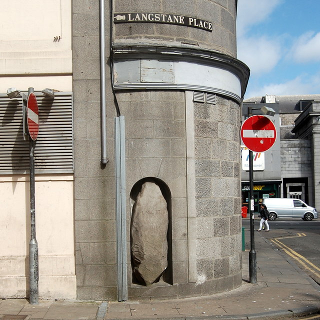
Image: © Bill Harrison Taken: 23 May 2015
The origins of the Langstane, now firmly embedded in a wall at 10 Langstane Place, are uncertain; it may have been part of a stone circle or an ancient boundary stone: http://canmore.rcahms.gov.uk/en/site/20073/details/aberdeen+10+langstane+place+lang+stane/ .
Images are licensed for reuse under creativecommons.org/licenses/by-sa/2.0
Image Location
Latitude
57.144578
Longitude
-2.104752