The A35 at Symonds Down
Introduction
The photograph on this page of The A35 at Symonds Down by Nigel Mykura as part of the Geograph project.
The Geograph project started in 2005 with the aim of publishing, organising and preserving representative images for every square kilometre of Great Britain, Ireland and the Isle of Man.

There are currently over 7.5m images from over 14,400 individuals and you can help contribute to the project by visiting https://www.geograph.org.uk
The A35 at Symonds Down
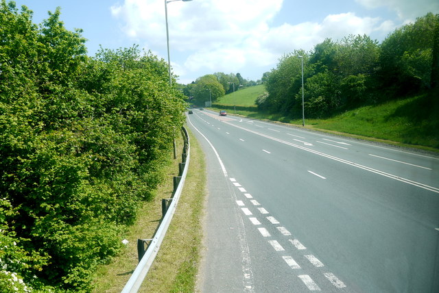
Image: © Nigel Mykura Taken: 23 May 2015
This is the view east along the A35 from close to its junction with the B3162 which branches north to Axminster and Chard.
Images are licensed for reuse under creativecommons.org/licenses/by-sa/2.0
Image Location
Latitude
50.765699
Longitude
-2.977207