Castle Hill Axminster.
Introduction
The photograph on this page of Castle Hill Axminster. by Nigel Mykura as part of the Geograph project.
The Geograph project started in 2005 with the aim of publishing, organising and preserving representative images for every square kilometre of Great Britain, Ireland and the Isle of Man.

There are currently over 7.5m images from over 14,400 individuals and you can help contribute to the project by visiting https://www.geograph.org.uk
Castle Hill Axminster.
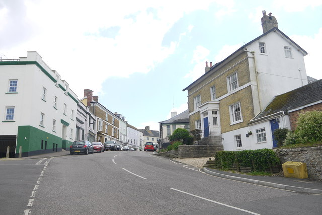
Image: © Nigel Mykura Taken: 23 May 2015
This steep hill leads up from the level crossing near the station to the centre of the town
Images are licensed for reuse under creativecommons.org/licenses/by-sa/2.0
Image Location
Latitude
50.782875
Longitude
-2.998559