New Houses on the Fosse Way
Introduction
The photograph on this page of New Houses on the Fosse Way by Nigel Mykura as part of the Geograph project.
The Geograph project started in 2005 with the aim of publishing, organising and preserving representative images for every square kilometre of Great Britain, Ireland and the Isle of Man.

There are currently over 7.5m images from over 14,400 individuals and you can help contribute to the project by visiting https://www.geograph.org.uk
New Houses on the Fosse Way
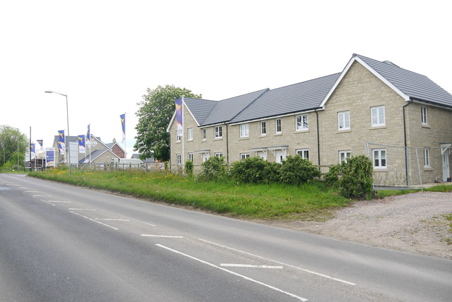
Image: © Nigel Mykura Taken: 23 May 2015
Nothing to show that these new houses on the main road out of Axminster to the north, the A358 to Chard are standing on what was once a roman road.
Images are licensed for reuse under creativecommons.org/licenses/by-sa/2.0
Image Location
Latitude
50.787267
Longitude
-2.989715