New Access to Lower Beavor Farm
Introduction
The photograph on this page of New Access to Lower Beavor Farm by Nigel Mykura as part of the Geograph project.
The Geograph project started in 2005 with the aim of publishing, organising and preserving representative images for every square kilometre of Great Britain, Ireland and the Isle of Man.

There are currently over 7.5m images from over 14,400 individuals and you can help contribute to the project by visiting https://www.geograph.org.uk
New Access to Lower Beavor Farm
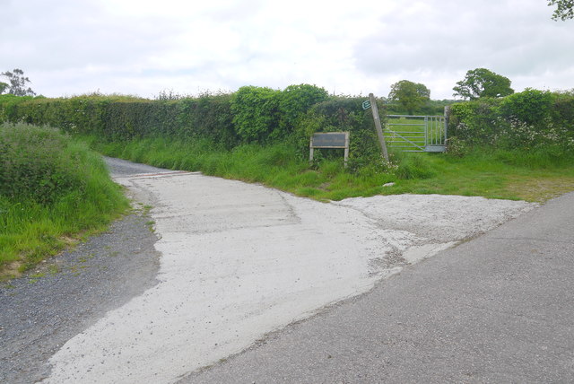
Image: © Nigel Mykura Taken: 23 May 2015
This concrete track is relatively new and does not show up on current maps and google earth satellite images (May 2015). It runs from Cole's lane to Lower Beavor and runs along the line of an older footpath.
Images are licensed for reuse under creativecommons.org/licenses/by-sa/2.0
Image Location
Latitude
50.775645
Longitude
-2.970748