Malham Free School
Introduction
The photograph on this page of Malham Free School by John Illingworth as part of the Geograph project.
The Geograph project started in 2005 with the aim of publishing, organising and preserving representative images for every square kilometre of Great Britain, Ireland and the Isle of Man.

There are currently over 7.5m images from over 14,400 individuals and you can help contribute to the project by visiting https://www.geograph.org.uk
Malham Free School
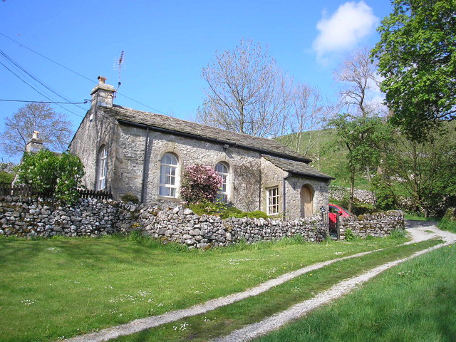
Image: © John Illingworth Taken: 23 May 2015
Now a private house this Grade II listed building was founded as a free school in 1717. The local history group has more information at http://www.kirkbymalham.info/KMLHG/schools/malham.html
Images are licensed for reuse under creativecommons.org/licenses/by-sa/2.0
Image Location
Latitude
54.063029
Longitude
-2.151372