Trencrom Hill
Introduction
The photograph on this page of Trencrom Hill by Rude Health as part of the Geograph project.
The Geograph project started in 2005 with the aim of publishing, organising and preserving representative images for every square kilometre of Great Britain, Ireland and the Isle of Man.

There are currently over 7.5m images from over 14,400 individuals and you can help contribute to the project by visiting https://www.geograph.org.uk
Trencrom Hill
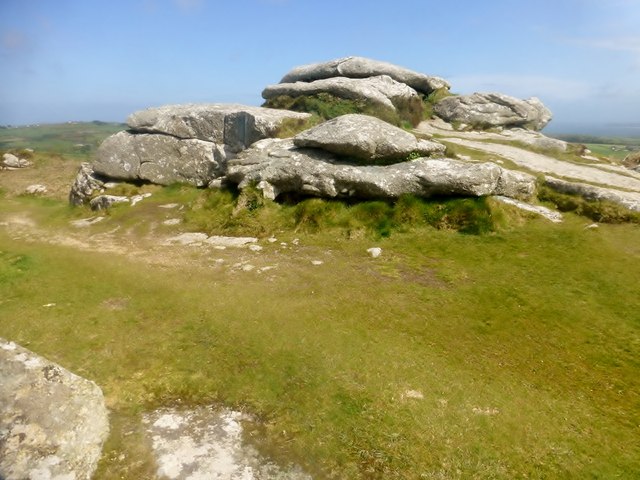
Image: © Rude Health Taken: 6 May 2015
Climbed up tor from car park to the south. Name: Trencrom Hill Hill number: 17615 Height: 176m / 577ft Parent (Ma/M): 2887 Watch Croft [White Downs] Section: 40: Cornwall & Devon County/UA: Cornwall (CoU) Class: Tump (100-199m) Grid ref: SW 51807 36230 Summit feature: rock tor Drop: 47m Col: 129m SW513364
Images are licensed for reuse under creativecommons.org/licenses/by-sa/2.0
Image Location
Latitude
50.173814
Longitude
-5.47755