Watford: A4178 Cassio Road
Introduction
The photograph on this page of Watford: A4178 Cassio Road by Nigel Cox as part of the Geograph project.
The Geograph project started in 2005 with the aim of publishing, organising and preserving representative images for every square kilometre of Great Britain, Ireland and the Isle of Man.

There are currently over 7.5m images from over 14,400 individuals and you can help contribute to the project by visiting https://www.geograph.org.uk
Watford: A4178 Cassio Road
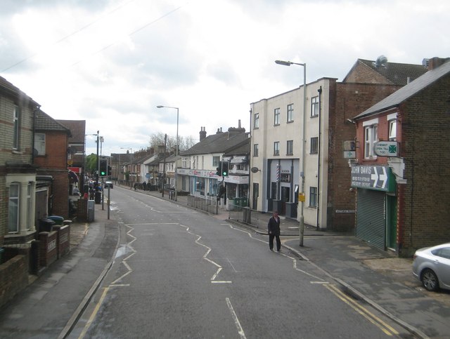
Image: © Nigel Cox Taken: 25 Apr 2015
On the right is the former Empire/ABC/Cannon cinema that opened in about 1913 and closed about 1996. The front foyer is now occupied by Izzy's Barbers while the rest of the building is a Muslim community centre. Cassio Road changes to Merton Road at the cinema. This is the view from the top deck of a generally westbound 320 bus, but heading southwards here.
Images are licensed for reuse under creativecommons.org/licenses/by-sa/2.0
Image Location
Latitude
51.6537
Longitude
-0.401201