Crick: Former carriageway of the A428
Introduction
The photograph on this page of Crick: Former carriageway of the A428 by Nigel Cox as part of the Geograph project.
The Geograph project started in 2005 with the aim of publishing, organising and preserving representative images for every square kilometre of Great Britain, Ireland and the Isle of Man.

There are currently over 7.5m images from over 14,400 individuals and you can help contribute to the project by visiting https://www.geograph.org.uk
Crick: Former carriageway of the A428
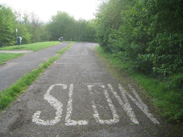
Image: © Nigel Cox Taken: 8 May 2015
Prior to the building of the Crick Bypass the A428 used to run straight through the town, and out to the east along here. This is a remnant of the former road with the old westbound carriageway on the right now completely vegetated over.
Images are licensed for reuse under creativecommons.org/licenses/by-sa/2.0
Image Location
Latitude
52.347812
Longitude
-1.129268