The Kings Head
Introduction
The photograph on this page of The Kings Head by Bob Harvey as part of the Geograph project.
The Geograph project started in 2005 with the aim of publishing, organising and preserving representative images for every square kilometre of Great Britain, Ireland and the Isle of Man.

There are currently over 7.5m images from over 14,400 individuals and you can help contribute to the project by visiting https://www.geograph.org.uk
The Kings Head
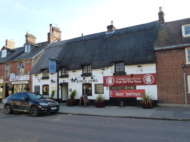
Image: © Bob Harvey Taken: 17 May 2015
One of the last thatched buildings in Wareham, and a CAMRA stalwart - as the banner shows
Images are licensed for reuse under creativecommons.org/licenses/by-sa/2.0
Image Location
Latitude
50.688178
Longitude
-2.111356