Flying a drone at Ladhope Recreation Ground
Introduction
The photograph on this page of Flying a drone at Ladhope Recreation Ground by Walter Baxter as part of the Geograph project.
The Geograph project started in 2005 with the aim of publishing, organising and preserving representative images for every square kilometre of Great Britain, Ireland and the Isle of Man.

There are currently over 7.5m images from over 14,400 individuals and you can help contribute to the project by visiting https://www.geograph.org.uk
Flying a drone at Ladhope Recreation Ground
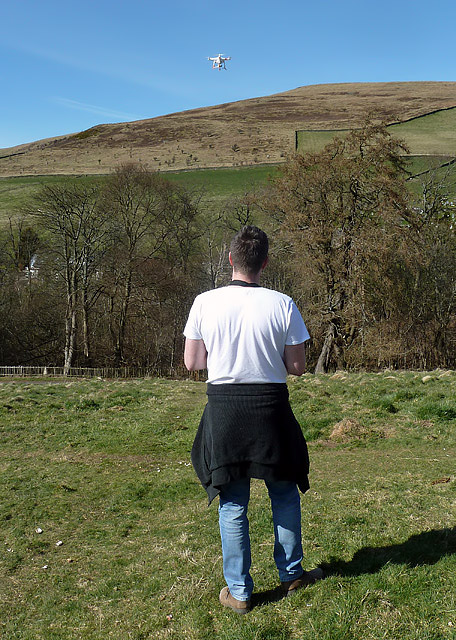
Image: © Walter Baxter Taken: 5 Apr 2015
I had an interesting chat with this guy flying his drone. He put on an impressive demonstration and showed me how easy it was to operate and take video and still shots with the control console. For a closer view of the drone, see Image
Images are licensed for reuse under creativecommons.org/licenses/by-sa/2.0
Image Location
Latitude
55.621402
Longitude
-2.807408