South end of Main Road, Plumtree
Introduction
The photograph on this page of South end of Main Road, Plumtree by Richard Vince as part of the Geograph project.
The Geograph project started in 2005 with the aim of publishing, organising and preserving representative images for every square kilometre of Great Britain, Ireland and the Isle of Man.

There are currently over 7.5m images from over 14,400 individuals and you can help contribute to the project by visiting https://www.geograph.org.uk
South end of Main Road, Plumtree
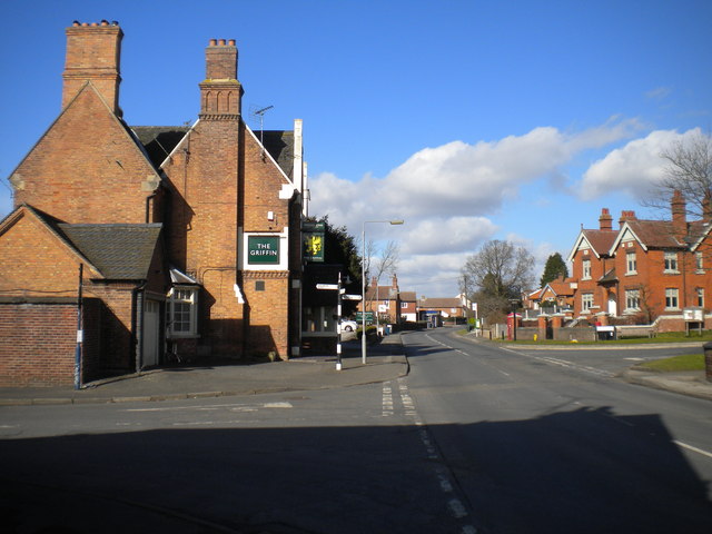
Image: © Richard Vince Taken: 27 Feb 2015
Seen from Station Road. The Griffin pub (left) had just been taken over when I visited, which meant food was not being served; this was unfortunate for me, as I had just worked up a decent appetite walking here from Ruddington.
Images are licensed for reuse under creativecommons.org/licenses/by-sa/2.0
Image Location
Latitude
52.890608
Longitude
-1.09049