Tinkers' Bubble, Norton Covert
Introduction
The photograph on this page of Tinkers' Bubble, Norton Covert by Becky Williamson as part of the Geograph project.
The Geograph project started in 2005 with the aim of publishing, organising and preserving representative images for every square kilometre of Great Britain, Ireland and the Isle of Man.

There are currently over 7.5m images from over 14,400 individuals and you can help contribute to the project by visiting https://www.geograph.org.uk
Tinkers' Bubble, Norton Covert
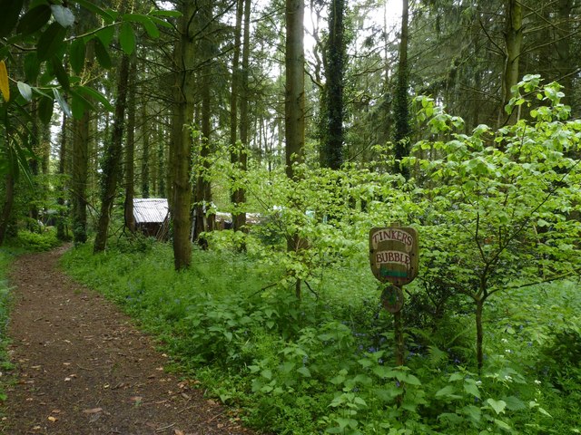
Image: © Becky Williamson Taken: 22 May 2015
Tinkers' Bubble is an eco-friendly communal settlement, set in a small off-grid hillside woodland community on 40 acres (16 hectares) of land in rural Somerset, England. The residents, known as Bubbleites, manage the land without fossil fuels, and have been for the last twenty years making a living mainly through forestry, apple products and gardening. As a result they say they are money poor but happiness rich. The name Tinkers Bubble comes from the spring that flows through the woodland ending in a small waterfall by the road. This is where gypsies brought their horses to water them at the bubble; the gypsy name for a waterfall.
Images are licensed for reuse under creativecommons.org/licenses/by-sa/2.0
Image Location


Leaflet Map data © OpenStreetMap
Latitude
50.938973
Longitude
-2.734045