The Agapemone Chapel, Four Forks
Introduction
The photograph on this page of The Agapemone Chapel, Four Forks by Roger Cornfoot as part of the Geograph project.
The Geograph project started in 2005 with the aim of publishing, organising and preserving representative images for every square kilometre of Great Britain, Ireland and the Isle of Man.

There are currently over 7.5m images from over 14,400 individuals and you can help contribute to the project by visiting https://www.geograph.org.uk
The Agapemone Chapel, Four Forks
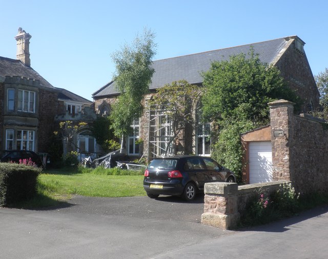
Image: © Roger Cornfoot Taken: 20 May 2015
A converted church with a fascinating history! See the description and links in Derek Harper's entry:-Image
Images are licensed for reuse under creativecommons.org/licenses/by-sa/2.0
Image Location
Latitude
51.126583
Longitude
-3.097555