Trinity House
Introduction
The photograph on this page of Trinity House by Richard Webb as part of the Geograph project.
The Geograph project started in 2005 with the aim of publishing, organising and preserving representative images for every square kilometre of Great Britain, Ireland and the Isle of Man.

There are currently over 7.5m images from over 14,400 individuals and you can help contribute to the project by visiting https://www.geograph.org.uk
Trinity House
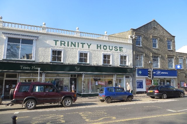
Image: © Richard Webb Taken: 8 Apr 2015
An example of a surviving department store, it was named after the date of a fire in the 19th century, this is a rather striking building in the middle of Axminster. Due to a road closure somewhere, there was a lot of extra traffic going through the town.
Images are licensed for reuse under creativecommons.org/licenses/by-sa/2.0
Image Location
Latitude
50.78215
Longitude
-2.999111