Herbicide
Introduction
The photograph on this page of Herbicide by Richard Webb as part of the Geograph project.
The Geograph project started in 2005 with the aim of publishing, organising and preserving representative images for every square kilometre of Great Britain, Ireland and the Isle of Man.

There are currently over 7.5m images from over 14,400 individuals and you can help contribute to the project by visiting https://www.geograph.org.uk
Herbicide
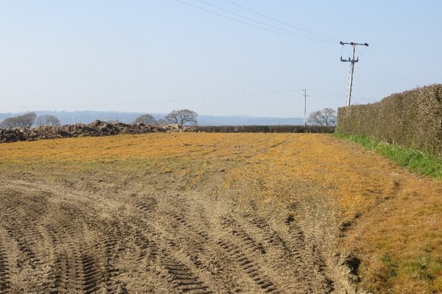
Image: © Richard Webb Taken: 8 Apr 2015
Some fields beside the Stammary Hill road had been treated with Roundup or something similar.
Images are licensed for reuse under creativecommons.org/licenses/by-sa/2.0
Image Location
Latitude
50.780008
Longitude
-2.965165