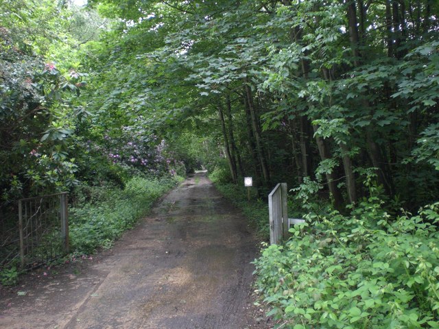
Roadway, Pig's Park
Introduction
The photograph on this page of Roadway, Pig's Park by Nigel Jones as part of the Geograph project.
The Geograph project started in 2005 with the aim of publishing, organising and preserving representative images for every square kilometre of Great Britain, Ireland and the Isle of Man.
There are currently over 7.5m images from over 14,400 individuals and you can help contribute to the project by visiting https://www.geograph.org.uk

Image: © Nigel Jones Taken: 29 May 2007
Pig's Park is the southern part of the parkland of Rackheath Hall. Hidden away in this greenery is the site of Simply Soaps who, perhaps wisely, conceal the pig part of their address on their website, see http://www.simplysoaps.com/uk/. Rackheath Hall was used as the HQ building for the US 467th Bomb Group in WWII who flew from the nearby Rackheath airfield. See http://www.467bg.com/. Administrative and accommodation sites were scattered all around the park and I assume that this concrete roadway is a remnant of all that.

