Cumberworth and Mumby: aerial 2015
Introduction
The photograph on this page of Cumberworth and Mumby: aerial 2015 by Chris as part of the Geograph project.
The Geograph project started in 2005 with the aim of publishing, organising and preserving representative images for every square kilometre of Great Britain, Ireland and the Isle of Man.

There are currently over 7.5m images from over 14,400 individuals and you can help contribute to the project by visiting https://www.geograph.org.uk
Cumberworth and Mumby: aerial 2015
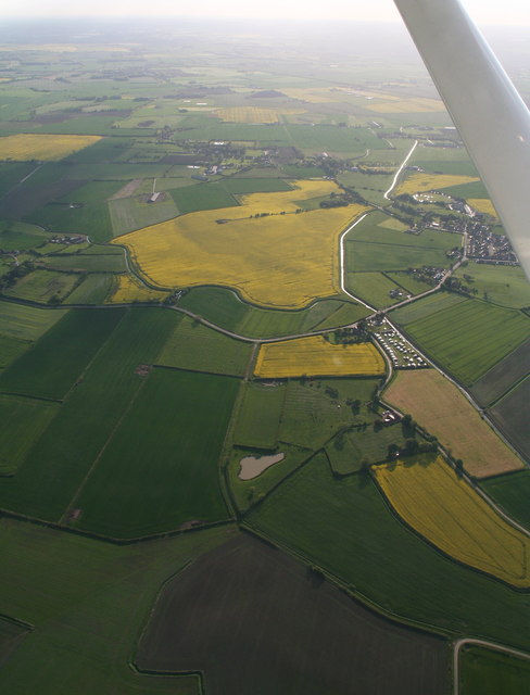
Image: © Chris Taken: 20 May 2015
The two villages separated by Main Drain. Mickleberry Hill at the bottom.
Images are licensed for reuse under creativecommons.org/licenses/by-sa/2.0
Image Location
Latitude
53.23933
Longitude
0.274235