Closed foot crossing near Lodge Farm
Introduction
The photograph on this page of Closed foot crossing near Lodge Farm by Dr Neil Clifton as part of the Geograph project.
The Geograph project started in 2005 with the aim of publishing, organising and preserving representative images for every square kilometre of Great Britain, Ireland and the Isle of Man.

There are currently over 7.5m images from over 14,400 individuals and you can help contribute to the project by visiting https://www.geograph.org.uk
Closed foot crossing near Lodge Farm
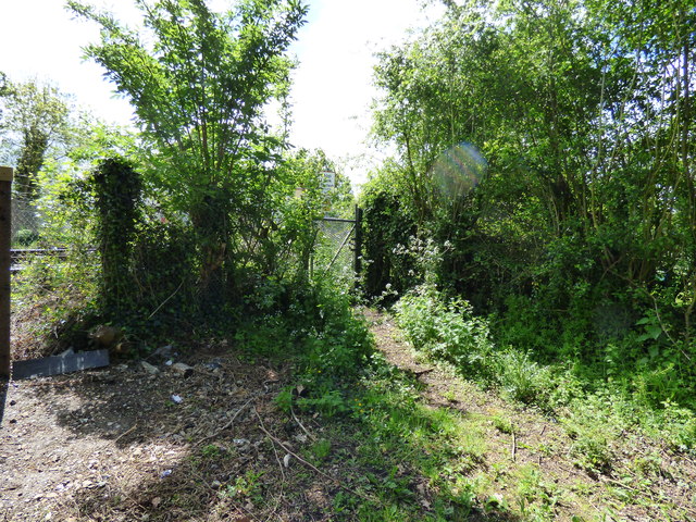
Image: © Dr Neil Clifton Taken: 20 May 2015
With safety in view, this foot crossing of the Dorking to Horsham railway has now been permanently closed. Incidentally there is no right of way on the western side by Lodge Farm.
Images are licensed for reuse under creativecommons.org/licenses/by-sa/2.0
Image Location
Latitude
51.197586
Longitude
-0.29767