American Lane, Huntingdon
Introduction
The photograph on this page of American Lane, Huntingdon by Stephen McKay as part of the Geograph project.
The Geograph project started in 2005 with the aim of publishing, organising and preserving representative images for every square kilometre of Great Britain, Ireland and the Isle of Man.

There are currently over 7.5m images from over 14,400 individuals and you can help contribute to the project by visiting https://www.geograph.org.uk
American Lane, Huntingdon
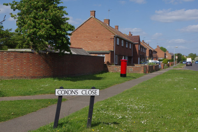
Image: © Stephen McKay Taken: 16 May 2015
Local authority built housing estate on the east side of Huntingdon.
Images are licensed for reuse under creativecommons.org/licenses/by-sa/2.0
Image Location
Latitude
52.335682
Longitude
-0.175929