Brookhouse Community Woodland
Introduction
The photograph on this page of Brookhouse Community Woodland by Keith Williamson as part of the Geograph project.
The Geograph project started in 2005 with the aim of publishing, organising and preserving representative images for every square kilometre of Great Britain, Ireland and the Isle of Man.

There are currently over 7.5m images from over 14,400 individuals and you can help contribute to the project by visiting https://www.geograph.org.uk
Brookhouse Community Woodland
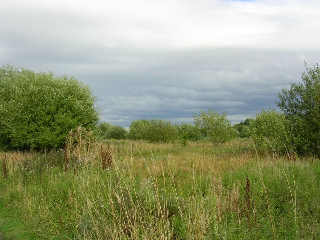
Image: © Keith Williamson Taken: 28 Aug 2005
A woodland project sponsored by the Cooperative Bank. Reclamation of a site formerly used as a municipal dump. Located close to the Eccles Interchange of the M60 motorway. Taken from SJ74889860 looking E.
Images are licensed for reuse under creativecommons.org/licenses/by-sa/2.0
Image Location


Leaflet Map data © OpenStreetMap
Latitude
53.483513
Longitude
-2.380009