Basford: Lauriston Drive and Gabrielle Close
Introduction
The photograph on this page of Basford: Lauriston Drive and Gabrielle Close by John Sutton as part of the Geograph project.
The Geograph project started in 2005 with the aim of publishing, organising and preserving representative images for every square kilometre of Great Britain, Ireland and the Isle of Man.

There are currently over 7.5m images from over 14,400 individuals and you can help contribute to the project by visiting https://www.geograph.org.uk
Basford: Lauriston Drive and Gabrielle Close
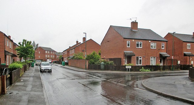
Image: © John Sutton Taken: 18 May 2015
This housing estate stands where there was once a high railway embankment carrying the Great Northern Derbyshire Lines which brought Derbyshire and Nottinghamshire coal to Colwick Yard for forwarding and carried the passenger services from Nottingham to Derby Friargate and Pinxton.
Images are licensed for reuse under creativecommons.org/licenses/by-sa/2.0
Image Location
Latitude
52.990027
Longitude
-1.18911