Overgrown mill leat by Tarka Trail, Okehampton
Introduction
The photograph on this page of Overgrown mill leat by Tarka Trail, Okehampton by David Smith as part of the Geograph project.
The Geograph project started in 2005 with the aim of publishing, organising and preserving representative images for every square kilometre of Great Britain, Ireland and the Isle of Man.

There are currently over 7.5m images from over 14,400 individuals and you can help contribute to the project by visiting https://www.geograph.org.uk
Overgrown mill leat by Tarka Trail, Okehampton
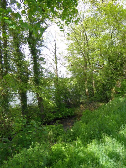
Image: © David Smith Taken: 19 May 2015
The mill leat takes water from the East Okement River to Town Mill Image Beyond the trees is a sports area for Okehampton College
Images are licensed for reuse under creativecommons.org/licenses/by-sa/2.0
Image Location


Leaflet Map data © OpenStreetMap
Latitude
50.736078
Longitude
-3.995522