Lower Deans Farm
Introduction
The photograph on this page of Lower Deans Farm by Marathon as part of the Geograph project.
The Geograph project started in 2005 with the aim of publishing, organising and preserving representative images for every square kilometre of Great Britain, Ireland and the Isle of Man.

There are currently over 7.5m images from over 14,400 individuals and you can help contribute to the project by visiting https://www.geograph.org.uk
Lower Deans Farm
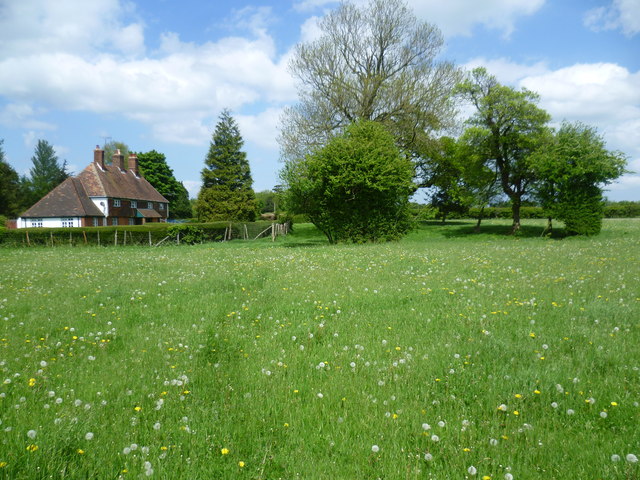
Image: © Marathon Taken: 16 May 2015
The footpath here, which has come up from the Pilgrim's Way, crosses a grassy field with a sea of dandelions.
Images are licensed for reuse under creativecommons.org/licenses/by-sa/2.0
Image Location
Latitude
51.258913
Longitude
0.68196