Staines Bypass, Approaching The Crooked Billet
Introduction
The photograph on this page of Staines Bypass, Approaching The Crooked Billet by David Dixon as part of the Geograph project.
The Geograph project started in 2005 with the aim of publishing, organising and preserving representative images for every square kilometre of Great Britain, Ireland and the Isle of Man.

There are currently over 7.5m images from over 14,400 individuals and you can help contribute to the project by visiting https://www.geograph.org.uk
Staines Bypass, Approaching The Crooked Billet
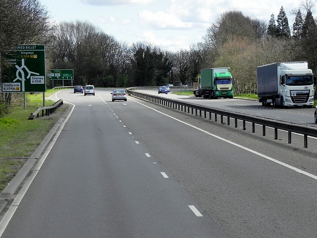
Image: © David Dixon Taken: 11 Apr 2015
The Crooked Billet is an example of a “hamburger” junction http://www.sabre-roads.org.uk/wiki/index.php?title=Hamburger_Junction . It looks like a roundabout, except that the A308 passes through the middle on the flat, the whole controlled by traffic lights.
Images are licensed for reuse under creativecommons.org/licenses/by-sa/2.0
Image Location
Latitude
51.43926
Longitude
-0.505244