A30 and M25 near Hythe End
Introduction
The photograph on this page of A30 and M25 near Hythe End by David Dixon as part of the Geograph project.
The Geograph project started in 2005 with the aim of publishing, organising and preserving representative images for every square kilometre of Great Britain, Ireland and the Isle of Man.

There are currently over 7.5m images from over 14,400 individuals and you can help contribute to the project by visiting https://www.geograph.org.uk
A30 and M25 near Hythe End
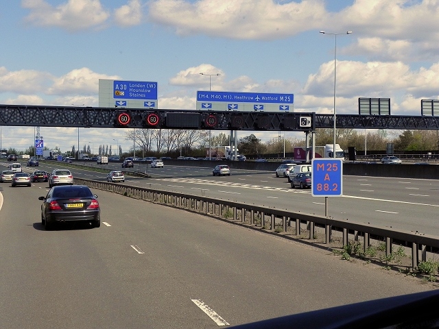
Image: © David Dixon Taken: 11 Apr 2015
The A30 runs either side of the M25 bewtween Runnymede Roundabout and Runnymede Junction (M25 Junction 3). A total width of approximately 70 metres!
Images are licensed for reuse under creativecommons.org/licenses/by-sa/2.0
Image Location


Leaflet Map data © OpenStreetMap
Latitude
51.439074
Longitude
-0.533163