Recently submerged narrowboat, north of bridge 182
Introduction
The photograph on this page of Recently submerged narrowboat, north of bridge 182 by Christine Johnstone as part of the Geograph project.
The Geograph project started in 2005 with the aim of publishing, organising and preserving representative images for every square kilometre of Great Britain, Ireland and the Isle of Man.

There are currently over 7.5m images from over 14,400 individuals and you can help contribute to the project by visiting https://www.geograph.org.uk
Recently submerged narrowboat, north of bridge 182
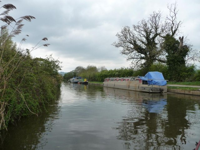
Image: © Christine Johnstone Taken: 2 May 2015
Now securely moored and afloat, alongside the Kennet & Avon Canal towpath.
Images are licensed for reuse under creativecommons.org/licenses/by-sa/2.0
Image Location
Latitude
51.393787
Longitude
-2.313565