Laindon station approach
Introduction
The photograph on this page of Laindon station approach by Malc McDonald as part of the Geograph project.
The Geograph project started in 2005 with the aim of publishing, organising and preserving representative images for every square kilometre of Great Britain, Ireland and the Isle of Man.

There are currently over 7.5m images from over 14,400 individuals and you can help contribute to the project by visiting https://www.geograph.org.uk
Laindon station approach
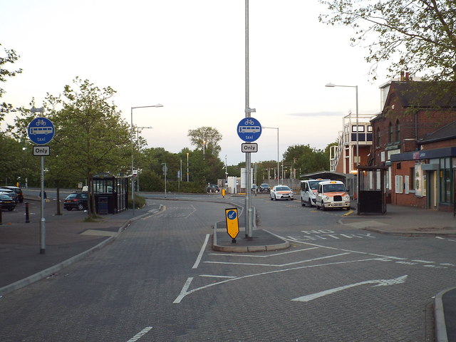
Image: © Malc McDonald Taken: 16 May 2015
The blue signs indicate that the station approach road can only be used by buses, taxis and cycles.
Images are licensed for reuse under creativecommons.org/licenses/by-sa/2.0
Image Location
Latitude
51.567809
Longitude
0.423467