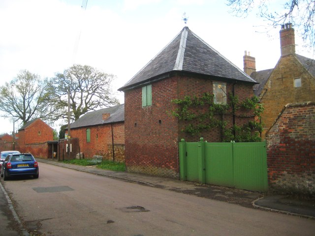
Welford: Manor House Dovecote
Introduction
The photograph on this page of Welford: Manor House Dovecote by Nigel Cox as part of the Geograph project.
The Geograph project started in 2005 with the aim of publishing, organising and preserving representative images for every square kilometre of Great Britain, Ireland and the Isle of Man.
There are currently over 7.5m images from over 14,400 individuals and you can help contribute to the project by visiting https://www.geograph.org.uk

Image: © Nigel Cox Taken: 5 May 2015
The dovecote and stables beyond it are Grade II Listed. The English Heritage website describes them thus:- "Dovecote now barn. Mid C18. Chequered brick with slate roof. Single-unit square plan. 2 storeys. Elevation to road has first floor loft doors. Pyramid roof with weather vane. Rear has ground floor entrance, first floor sash and wooden dormer with nesting box entrances. Right side elevation has sundial with inscription "Hora pars Vite". Stables and garage attached to left, part C18 reconstructed in C19." If there is some chequered brickwork it must be on the far, private, manor house, elevation. There are numerous examples of chequered brickwork in the village, Image just down the road being a good example.

