Farmland near Treveria
Introduction
The photograph on this page of Farmland near Treveria by Derek Harper as part of the Geograph project.
The Geograph project started in 2005 with the aim of publishing, organising and preserving representative images for every square kilometre of Great Britain, Ireland and the Isle of Man.

There are currently over 7.5m images from over 14,400 individuals and you can help contribute to the project by visiting https://www.geograph.org.uk
Farmland near Treveria
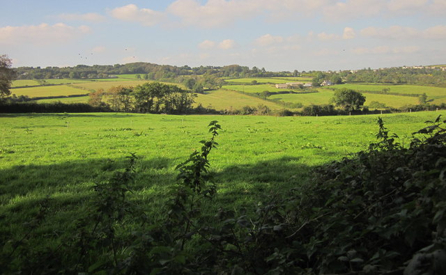
Image: © Derek Harper Taken: 10 Sep 2014
From further along the no through road shown in Image], looking to the left, with farms at Trenean, and Widegates on the horizon.
Images are licensed for reuse under creativecommons.org/licenses/by-sa/2.0
Image Location
Latitude
50.384971
Longitude
-4.420777