Horsell Common
Introduction
The photograph on this page of Horsell Common by Alan Hunt as part of the Geograph project.
The Geograph project started in 2005 with the aim of publishing, organising and preserving representative images for every square kilometre of Great Britain, Ireland and the Isle of Man.

There are currently over 7.5m images from over 14,400 individuals and you can help contribute to the project by visiting https://www.geograph.org.uk
Horsell Common
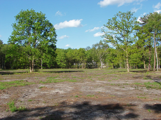
Image: © Alan Hunt Taken: 12 May 2015
A recently cleared area near the A320, Chertsey Road with the Bleak House restaurant just visible through the trees.
Images are licensed for reuse under creativecommons.org/licenses/by-sa/2.0
Image Location
Latitude
51.338049
Longitude
-0.544286