Former British Legion Club
Introduction
The photograph on this page of Former British Legion Club by John M as part of the Geograph project.
The Geograph project started in 2005 with the aim of publishing, organising and preserving representative images for every square kilometre of Great Britain, Ireland and the Isle of Man.

There are currently over 7.5m images from over 14,400 individuals and you can help contribute to the project by visiting https://www.geograph.org.uk
Former British Legion Club
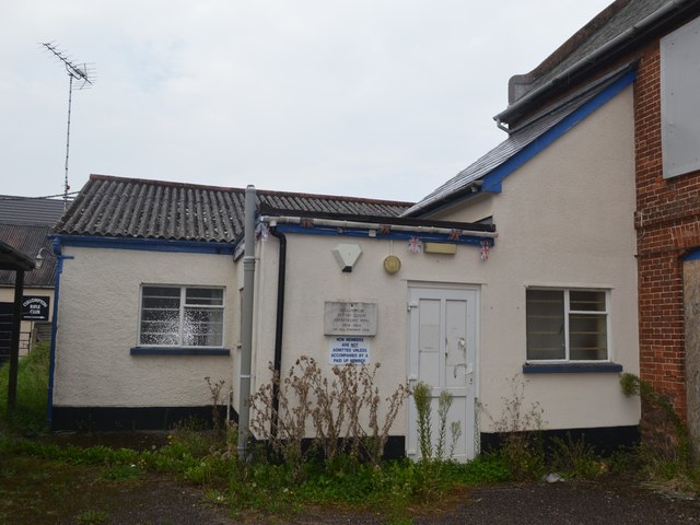
Image: © John M Taken: 6 Sep 2014
The club was established in 1924 and closed 2013. Cullompton Rifle Club is behind and the Great War Drill Hall to right.
Images are licensed for reuse under creativecommons.org/licenses/by-sa/2.0
Image Location
Latitude
50.856247
Longitude
-3.394101