Path from Braybrook Street into Wormwood Scrubs
Introduction
The photograph on this page of Path from Braybrook Street into Wormwood Scrubs by David Hawgood as part of the Geograph project.
The Geograph project started in 2005 with the aim of publishing, organising and preserving representative images for every square kilometre of Great Britain, Ireland and the Isle of Man.

There are currently over 7.5m images from over 14,400 individuals and you can help contribute to the project by visiting https://www.geograph.org.uk
Path from Braybrook Street into Wormwood Scrubs
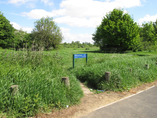
Image: © David Hawgood Taken: 16 May 2015
The area of Wormwood Scrubs here is the remaining open fragment of Old Oak Common.
Images are licensed for reuse under creativecommons.org/licenses/by-sa/2.0
Image Location
Latitude
51.51989
Longitude
-0.249501