Scorton Road Farmhouse
Introduction
The photograph on this page of Scorton Road Farmhouse by Tony Simms as part of the Geograph project.
The Geograph project started in 2005 with the aim of publishing, organising and preserving representative images for every square kilometre of Great Britain, Ireland and the Isle of Man.

There are currently over 7.5m images from over 14,400 individuals and you can help contribute to the project by visiting https://www.geograph.org.uk
Scorton Road Farmhouse
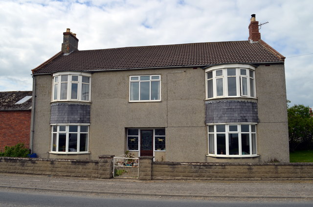
Image: © Tony Simms Taken: 13 May 2015
The embellished windows either side of the door evidence the links many farms had with racehorse owning or training in this area.
Images are licensed for reuse under creativecommons.org/licenses/by-sa/2.0
Image Location
Latitude
54.413502
Longitude
-1.572385