Maer Hills
Introduction
The photograph on this page of Maer Hills by Neil Lewin as part of the Geograph project.
The Geograph project started in 2005 with the aim of publishing, organising and preserving representative images for every square kilometre of Great Britain, Ireland and the Isle of Man.

There are currently over 7.5m images from over 14,400 individuals and you can help contribute to the project by visiting https://www.geograph.org.uk
Maer Hills
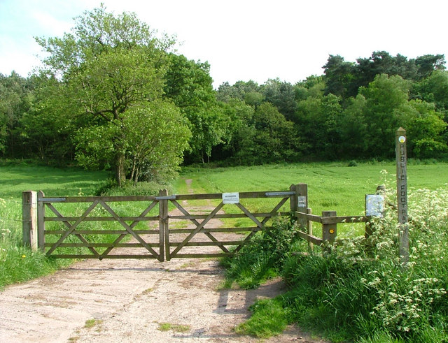
Image: © Neil Lewin Taken: 25 May 2007
This footpath leads towards the proposed site for a disputed 'eco holiday village' For the pro-argument see www.evolutionleisurevillage.com
Images are licensed for reuse under creativecommons.org/licenses/by-sa/2.0
Image Location
Latitude
52.960496
Longitude
-2.334912