Archer Street, Ynysybwl
Introduction
The photograph on this page of Archer Street, Ynysybwl by Steve Sheppard as part of the Geograph project.
The Geograph project started in 2005 with the aim of publishing, organising and preserving representative images for every square kilometre of Great Britain, Ireland and the Isle of Man.

There are currently over 7.5m images from over 14,400 individuals and you can help contribute to the project by visiting https://www.geograph.org.uk
Archer Street, Ynysybwl
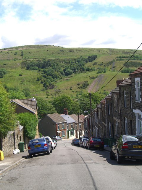
Image: © Steve Sheppard Taken: 28 May 2007
The houses at the bottom are on Peygraig Terrace. The hill behind is Pen y Foel, with evidence of the coal tips from the local pit.
Images are licensed for reuse under creativecommons.org/licenses/by-sa/2.0
Image Location
Latitude
51.639154
Longitude
-3.361191